|
|
Post by Smitty on Mar 5, 2006 17:29:46 GMT -5
I got bored this morning and decided to fly to some of the places mentioned in wings in Microsoft Flight Simulator. The route was in this order: Boston, Provincetown, Nantucket, Hyannis, Martha's Vinyard and back to Boston. here are the screenshots  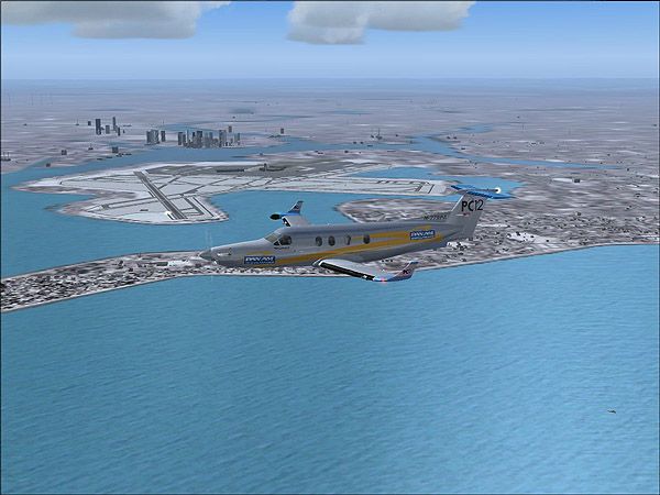 departing boston 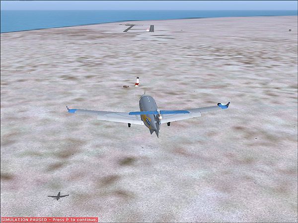 final approach to provincetown 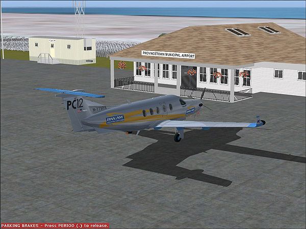 parked at provincetown 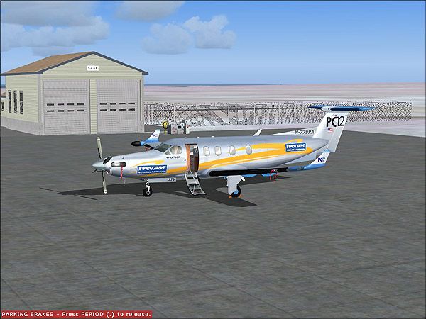 passengers may now exit the aircraft 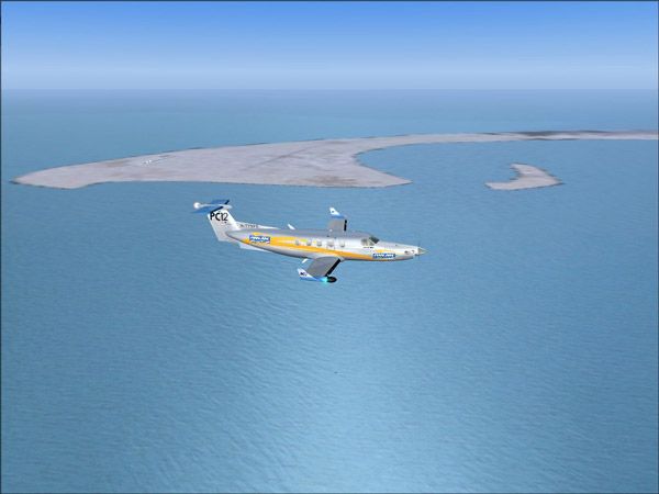 departing provincetown 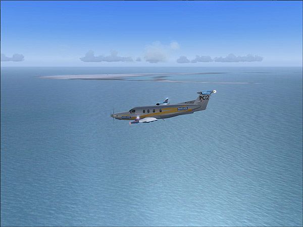 base leg descent...that is nantucket in the background 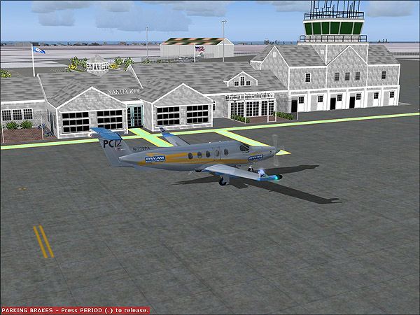 welcome to tom nevers field 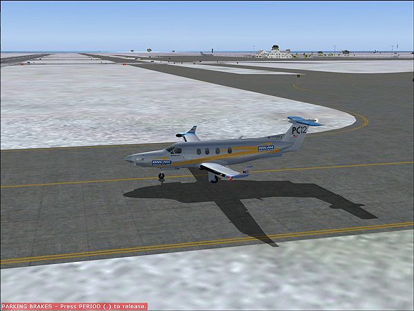 waiting for take off clearance at tom nevers field 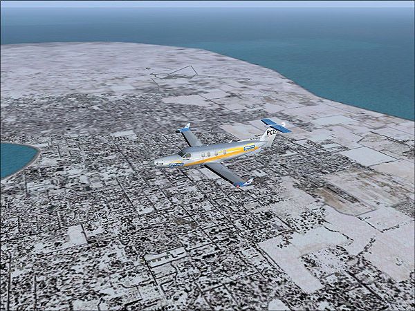 departing nantucket for martha's vinyard  enroute to martha's vinyard 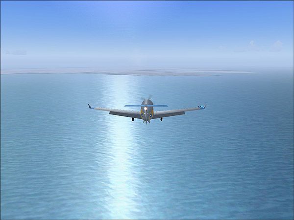 approaching martha's vinyard....what's this remind you of? lol 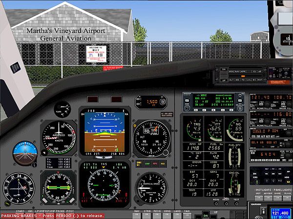 parked at martha's vinyard  back home at boston |
|
|
|
Post by Brian Hackett on Mar 5, 2006 21:43:06 GMT -5
Now that is sweet! How do I do something like that!!
|
|
|
|
Post by Nix on Mar 5, 2006 22:23:17 GMT -5
Cool! The only thing missing is having everyone there at Tom Nevers Field greet you. I almost expected Lowell to be out on the runway. LOL
|
|
|
|
Post by AeroMess on Mar 5, 2006 22:47:52 GMT -5
That is very cool! Thanks for posting them!
|
|
|
|
Post by Smitty on Mar 6, 2006 12:14:30 GMT -5
Now that is sweet! How do I do something like that!! Well, all you need is Microsoft Flight Simulator 2004 www.microsoft.com/games/flightsimulator/ The scenery files for the airports can be downloaded here www.avsim.com I was also flying the AFG (Allied Flight Sim Group) Pilatus PC12 which can also be downloaded from avsim. It's by far the best add on aircraft I've ever flown in MSFS. I've been a Flight Simulator geek ever since I was old enough to use a computer....lol Oh I just remember I forgot one...  |
|
|
|
Post by tom_nevers_owner on Mar 9, 2006 18:41:12 GMT -5
Yeah, thanks for posting that! Very nice. BTW, the pic of the approach to Martha's Vinyard reminded me of the opening sequence.  Steve Tom_Nevers_Owner |
|
|
|
Post by Smitty on Mar 21, 2006 15:16:47 GMT -5
Yeah, I was thinking the same thing when I was reaching the coastline. I wasn't intentional at all I swear. It just happened that way. I should have changed course and got her lined up right in the reflection but I was already lined up for the runway. Here are a few more. They're not wings related but they are neat. I just started my second trip around the world in a propeller aircraft. The last one I did was Amelia Earhart's route and planned route which I flew in the Pilatus PC12 like above. I started this trip in the PC12 and the runways up north are just too short for it so I switched to the Cessna 208B Grand Caravan in FedEx paint. FedEx flies these out of the same airport I fly in and out of for my flight training.   landing at Reykjavik, Iceland. Hello Binni   take off at dawn from the above ^  a random right bank...I can't remember where I was going but it is from up north somewhere. |
|
|
|
Post by AeroMess on Mar 21, 2006 17:32:24 GMT -5
These are really cool! I had no idea flight simulators were so real!
|
|
|
|
Post by Brian Hackett on Mar 22, 2006 23:26:50 GMT -5
I can't get over how cool that looks!
|
|
|
|
Post by Nix on Mar 23, 2006 14:27:55 GMT -5
I usaully hate flight simulators, but this one does seem like it's really cool.  |
|
|
|
Post by Smitty on Mar 25, 2006 23:07:45 GMT -5
yeah, those combat sims can be annoying of course so can the engine noise of MSFS9. I'm a student pilot and this sim is the best for anyone learning to fly. anyway, since I fly in realworld conditions and in real world time I had to wait this out till there was some good weather. I started at Gilgit, Pakistan for Balkhash, Kasakhstan. The airport was already at around 6,000 MSL.... 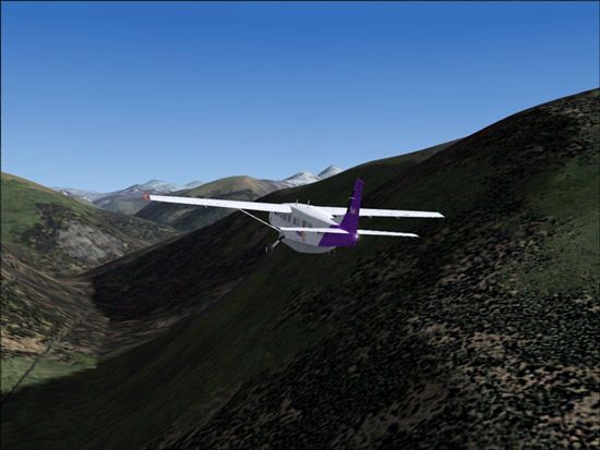 I was just climbing and climbing...The ceiling of the aircraft is 20,000 ft and that's not even enough to clear the peaks. I was navigating via GPS topographical data. 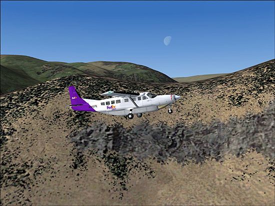 an interesing one I cap'd |
|
|
|
Post by Nix on Mar 26, 2006 12:37:14 GMT -5
Mountains, cool! Even though they aren't real, they still look kind of pretty. LOL
|
|
|
|
Post by AeroMess on Mar 26, 2006 14:39:21 GMT -5
So, if you fly in real world conditions, if you did this during a storm, would you crash? What would happen?
|
|
|
|
Post by Smitty on Mar 27, 2006 9:40:00 GMT -5
Well, when you setup your flight there is an option to download real world weather from Jeppeson. I'm not entirely sure how it works but I know it's pretty accurate judging by flying from my home airport and looking out the window to compare. I have crashed in storms before. Infact, when I first tried that flight it was densely foggy and cloudy and I wound up smacking right into the side of a mountain. It simulates turbulence as well. I'll post some caps from inside a storm as an example.
|
|
|
|
Post by Smitty on Mar 27, 2006 11:18:45 GMT -5
While I was at it I wrote a little IMR tutorial for one of the Virtual Airlines I fly for. I figured I'd just include the while thing...lol Okay here's a IMR (Instrument Meteorological Flight Rules) demo. Most general flying is done in VFR (Visual Flight Rules) and I think the difference is pretty obvious. Okay, let's begin... 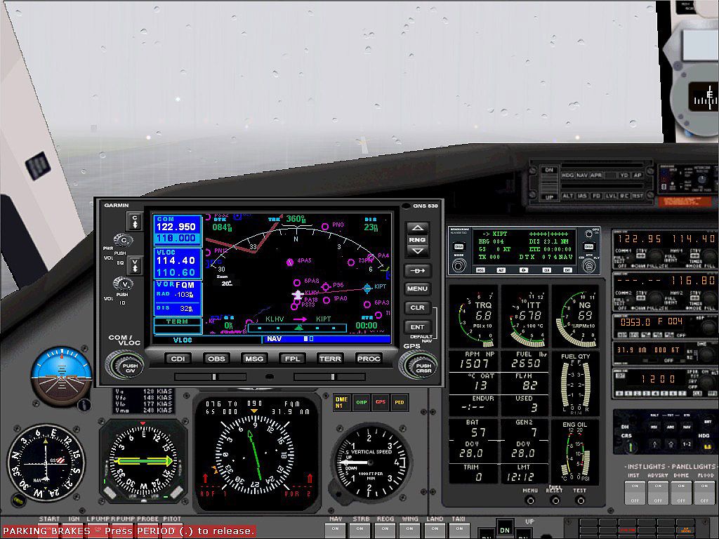 Here we are about to take off. I have the graphical GPS display up so you can see the course to KIPT and the heading. Since I don't like to rely on gps I'm going to navigate by VOR which stands for VHF (Very High Frequency) Omni-directional Radio-range. Basically all it is is a radio transmitter that emits a signal that your navigation equipment can orient itself by. I know by looking at a chart that the closest VOR station to the Williamsport airport is at Picture Rocks and it's frequency is 114.4 and as you can see I have that frequency set on the Navigation Radio on the top right. Also on the HSI (Horizontal Situation Indicator) beneath the graphical GPS display you can see I have the course arrow pointed in the heading of the VOR station and the course correction pipper is nearly lined up in the center. If it moves to the left or right of the arrow I know I'm off course. 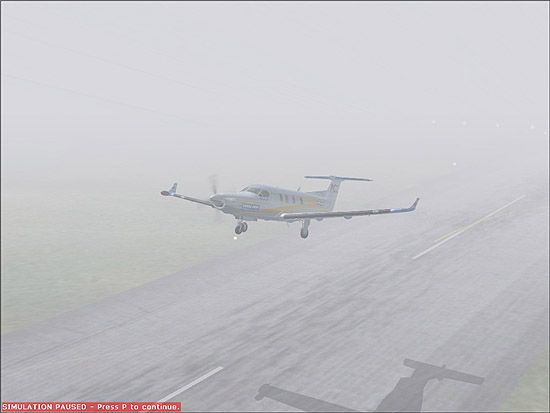 Okay, we're airborne. Notice the steep climb angle. I want to get to cruising altitude (above the mountain tops) as fast as I can so I'm climbing at the maximum rate which is different for each aircraft. The Pilatus PC12 is a performance aircraft so it will get to altitude extremely quick.  Okay we're at cruising altitude of 2,500 ft and heading for the VOR. Now you can see why we need instruments...lol 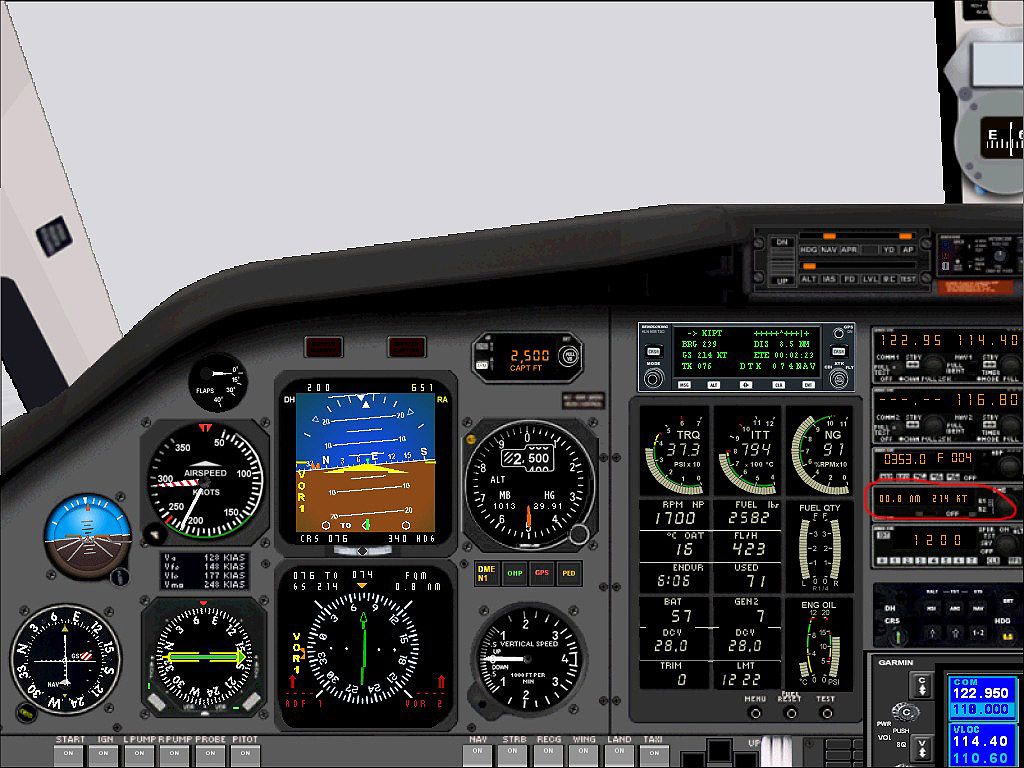 Okay we're approacing the VOR station. If you look at the DME (Distance Measuring Equipment) which is circled in red, you can see that we are only .8 nautical miles from the VOR. Once the display shows you passed it you want to turn towards the airport which is at 235 degrees. The vectors can be worked out using a chart and a plotter. Once we're at 235 degrees I'm going to retune the nav radio to the airport's ILS (Instrument Landing System) frequency of 110.1 and set the autopilot to APPR (approach.) Now all I have to do is intersect the ILS localizer and the autopilot will do most of the work. 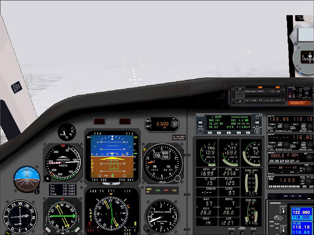 Here is the final approach where I can now make out the runway. Notice the NAV frequency is still on 110.1 and you can see the localizer info on the attitude indicator in green. 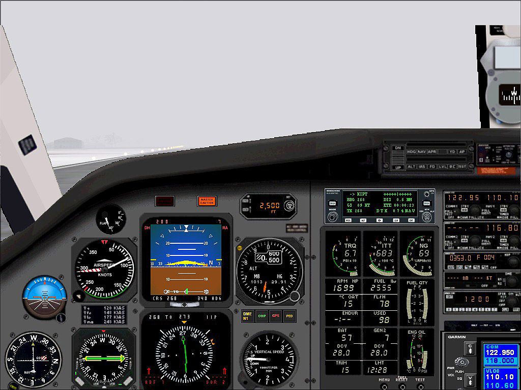 Once I had the runway in sight I turned off the autopilot and set up my flare which you can see here. A second or so later a smooth touch down. |
|